")
")
")
")
")
")
")
")
Get a quote in only 3 steps!
1. Add the items you are interested in to your cart
2.Go to your cart
3.Click on GENERATE A QUOTE
Tous vos devis sont accessibles à partir de votre compte client.
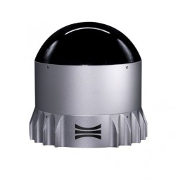
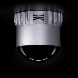
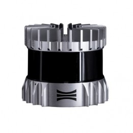
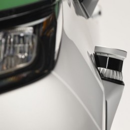
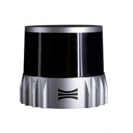
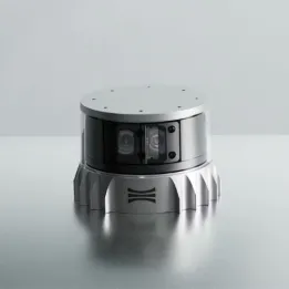
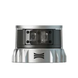
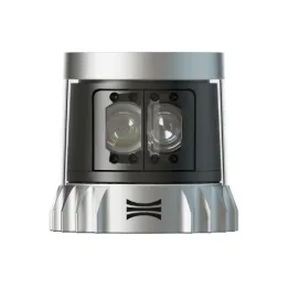
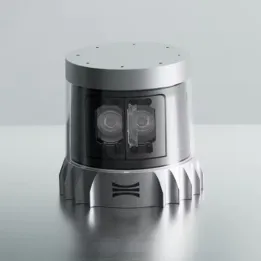
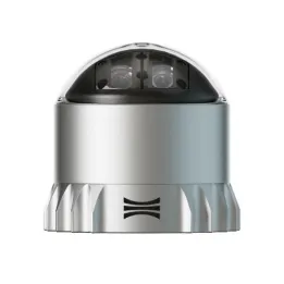
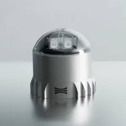
The OS0 lidar has an ultra-wide (90°) field of view, meaning it can see everything from floor to ceiling.
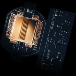
The Rev 7 range is powered by the new-generation L3 chip and for the first time brings a rear lighting technology. It also offers lots of interesting features:
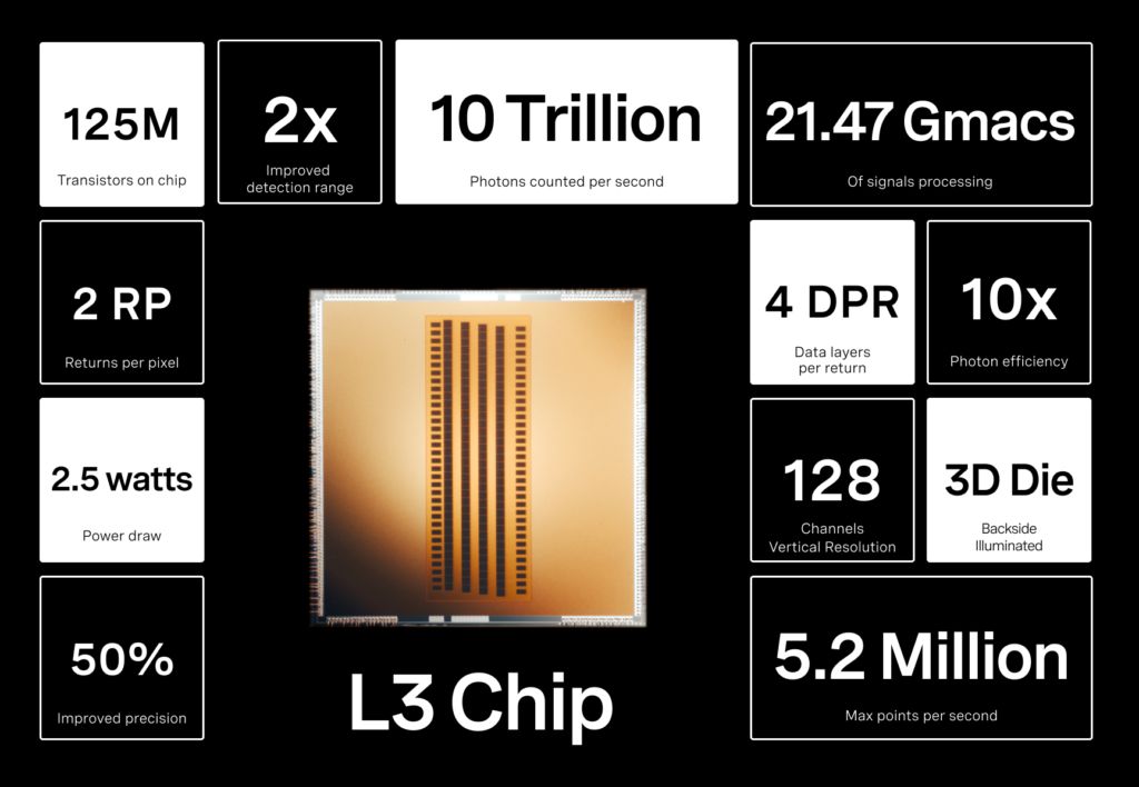
Thanks to this chip, the Ouster Rev 7 lidars see everything, over longer distances and with greater accuracy, for better mapping, more accurate obstacle detection and safer autonomous operations both indoors and out.
")
The OS0 lidar has an ultra-wide (90°) field of view, meaning it can see everything from floor to ceiling.