")
")
")
")
")
")
")
")
Get a quote in only 3 steps!
1. Add the items you are interested in to your cart
2.Go to your cart
3.Click on GENERATE A QUOTE
Tous vos devis sont accessibles à partir de votre compte client.
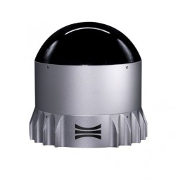
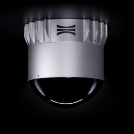
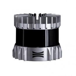
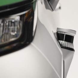
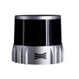
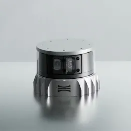
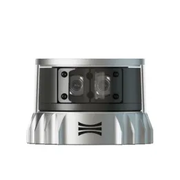
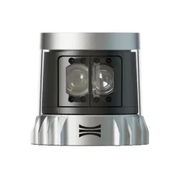
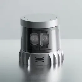
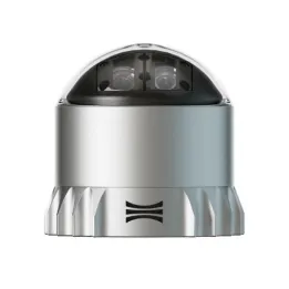
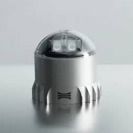
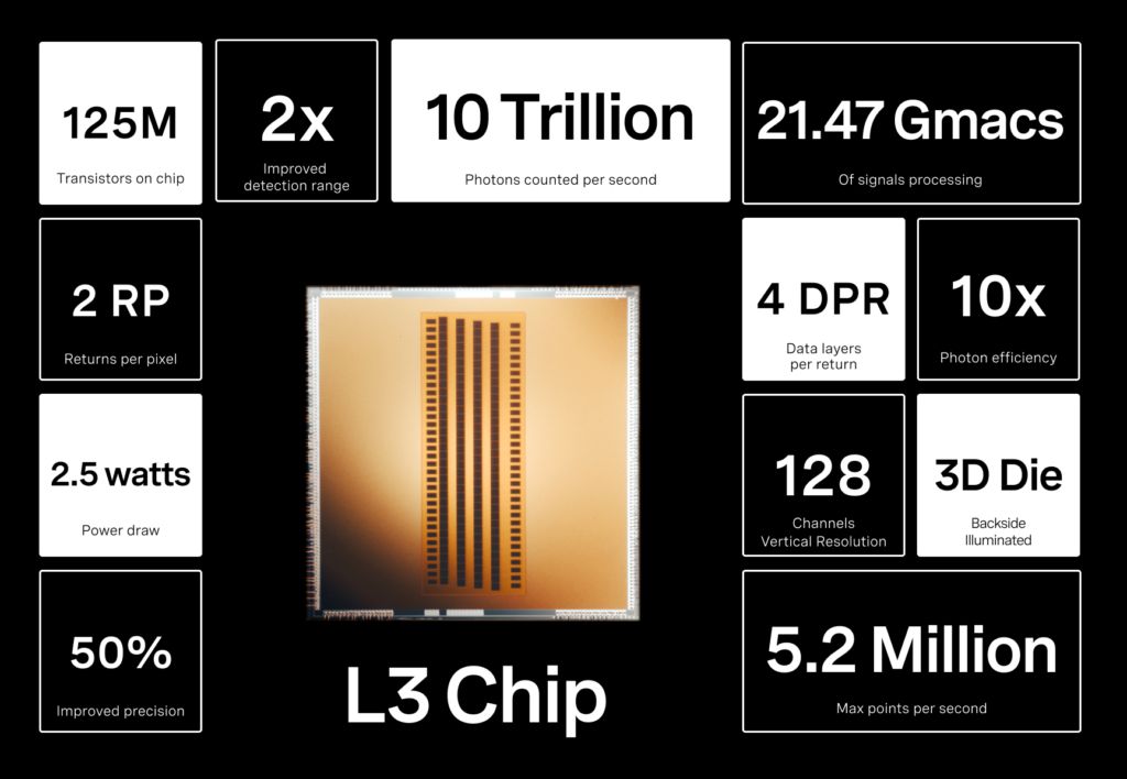
The OS1 lidar is a high-performance sensor built around the new L3 chip, offering the best combination of range, field of view and resolution.
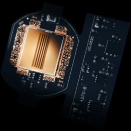
The Ouster OS1 features 64 or 128 channels of vertical resolution in addition to a higher resolution than any other mid-range sensor on the market. Powered by the L3 chip, it delivers up to 5.2 million points per second for a more accurate representation of surfaces and features such as walls, corners and small objects.

")
The OS1 lidar is a high-performance sensor built around the new L3 chip, offering the best combination of range, field of view and resolution.