New
LiDAR RoboSense Fairy

LiDAR RoboSense Fairy

LiDAR RoboSense Fairy
Robosense | A-000000-08045
£1,627.70
20 perc. French VAT inc.

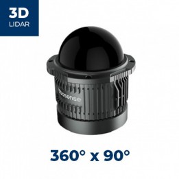
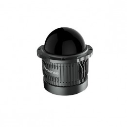
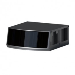
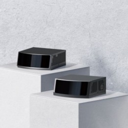
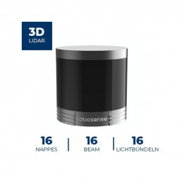
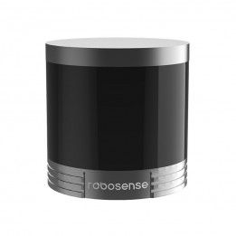
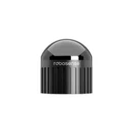
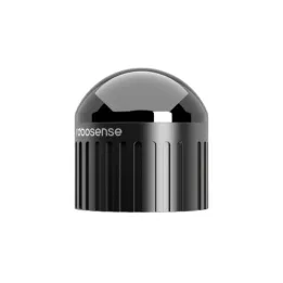
The LiDAR RoboSense Fairy is a digital LiDAR with mid-range performance for 3D perception in mobile robotics and 3D mapping. It combines high precision, a 360° field of view, and a dense point cloud in a compact form factor (< 350 g) with an Ethernet interface.

Quantity
Resupply in progress
This product is currently being replenished. Restocking occurs on a monthly basis.

Create a cart and turn it into a quote instantly!
Payment methods (see T&C)
Debit card
PayPal
Payment by invoice
Wire transfer

What Fairy adds to a perception stack

The RoboSense Fairy is designed for robotic 3D perception pipelines, with a focus on measurement accuracy and point cloud density. Key parameters for algorithmic use include 0.5 cm accuracy, a 360° × 32° FoV, and a range up to 150 m (with 80 m @ 10%).

Its angular resolution (0.25° (H) / 0.33° (V)) and throughput (up to ~1,370,000 pts/s in the 96-line version) help preserve useful geometry for obstacle detection, segmentation, and SLAM, especially for thin or low-contrast objects. The 10 Hz (adjustable) setting supports tuning the trade-off between latency, scene dynamics, and compute load.

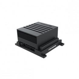
For integration, UDP over Ethernet (100Base-TX / 100Base-T1) carries 3D coordinates, reflectivity, and a timestamp, supporting logging, test reproducibility, and use within a robotics middleware. Time synchronization (GPRMC + 1PPS, PTP, gPTP) is useful for multi-sensor setups (LiDAR + cameras + IMU) where time alignment matters. Embedded deployment is supported by < 10 W power consumption and 9–32 V input, with IP67 / IP6K9K protection and an operating range of -40°C to +60°C. The Class 1 laser (940 nm) suits shared test environments (labs, demos, industrial sites).

Applications and project examples

  • 3D mapping and reconstruction: dense geometry capture to model scenes (outdoor surveys, structure reconstruction, terrain capture).
  • Autonomous navigation and obstacle avoidance: using the 3D cloud to detect obstacles and secure trajectories (mobile robot in shared areas, indoor/outdoor test tracks).
  • Localization and SLAM: integration in a LiDAR localization pipeline, using timestamps and synchronization for multi-sensor fusion.
  • Multi-sensor fusion: LiDAR/camera/IMU time alignment via 1PPS and PTP/gPTP (perception rig, instrumented platform, test bench).
  • Service robotics: integration on delivery robots and cleaning robots when 360° perception and point density are priorities.
  • Logistics and industrial mobility: autonomous forklifts, navigation in mixed-traffic areas, detection of obstacles and edges.
  • Drones and lightweight systems: integration on UAVs and portable mapping devices thanks to the compact format and low weight.

Available versions

  • 96 lines: ~1,370,000 pts/s, to maximize point cloud density (detailed mapping, fine detection).
  • 48 lines: ~685,000 pts/s, for a balance between throughput and processing.

Technical specifications of the LiDAR RoboSense Fairy

  • Number of lines: 96 or 48.
  • Wavelength: 940 nm.
  • Laser safety: Class 1.
  • Range: 80 m @ 10%; 150 m (max).
  • Accuracy: 0.5 cm (1σ).
  • Field of view: 360° × 32° (H × V).
  • Blind spot: ≤ 0.2 m.
  • Angular resolution: 0.25° (H); 0.33° (V).
  • Frame rate: 10 Hz (adjustable).
  • Points per second: ~1,370,000 pts/s (96 lines); ~685,000 pts/s (48 lines).
  • Connection: Ethernet 100Base-TX / 100Base-T1; UDP.
  • Data: 3D coordinates, reflectivity, timestamp.
  • Synchronization: GPRMC + 1PPS, PTP, gPTP.
  • Voltage: 9–32 V.
  • Power consumption: < 10 W.
  • Dimensions: φ75 mm × H70 mm.
  • Weight (without cabling): < 350 g.
  • Operating temperature: -40°C to +60°C.
  • Storage temperature: -40°C to +85°C.
  • Ingress protection: IP67; IP6K9K.

LiDAR RoboSense Fairy Resources

Customers who viewed this item also viewed