New
Slamtec Mapper M2M3 LiDAR

Slamtec Mapper M2M3 LiDAR

Slamtec Mapper M2M3 LiDAR
Slamtec | A-000000-07701
€864.00
20 perc. French VAT inc.

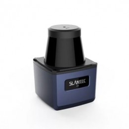
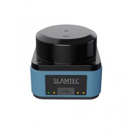
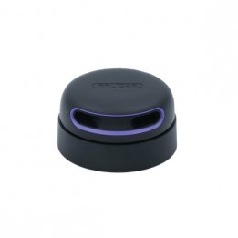
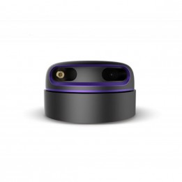
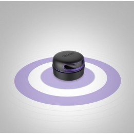
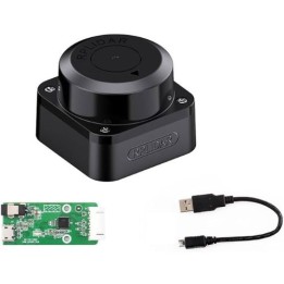
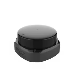
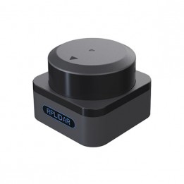
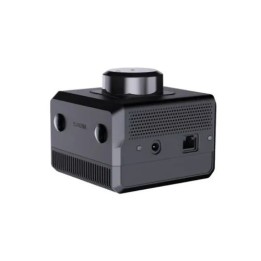
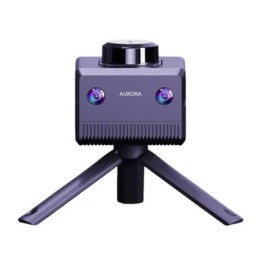
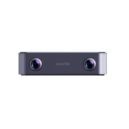
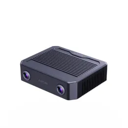
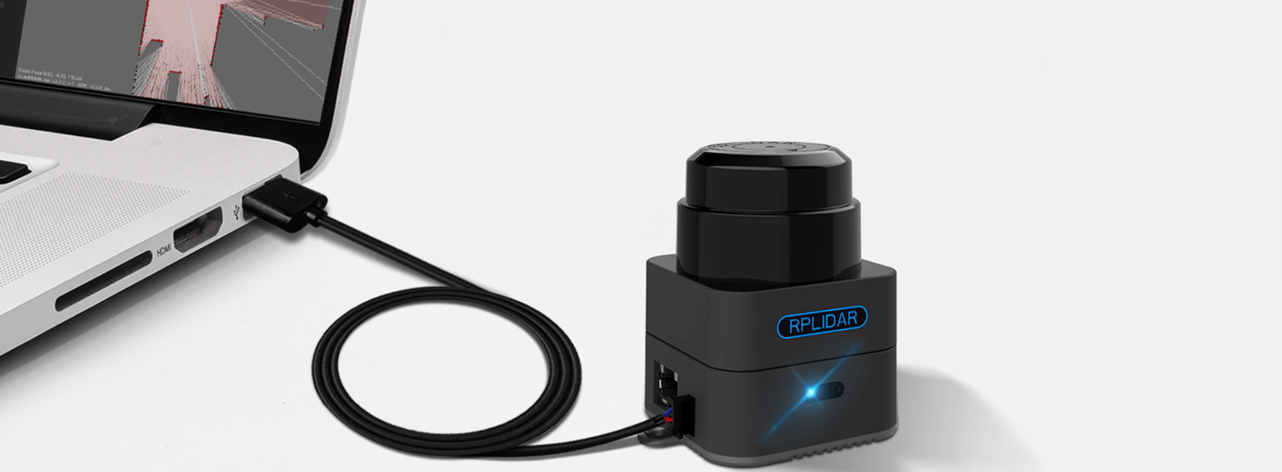
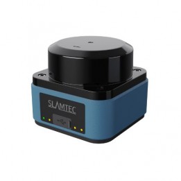
The Slamtec Mapper M2M3 is a 360° LiDAR scanner with built-in SLAM, capable of real-time mapping and localization without any external accessories. Compact, precise, and easy to integrate, it is ideal for mobile robots and indoor/outdoor mapping applications.

Quantity
In backorder
This product is on backorder. You can place an order on our website or send us a purchase order in PDF format
Contact us to know the delivery times

Create a cart and turn it into a quote instantly!
Payment methods (see T&C)
Debit card
PayPal
Payment by invoice
Wire transfer

360° LiDAR Scanner with Integrated SLAM for Autonomous Mapping

The Slamtec Mapper M2M3 is a LiDAR sensor combining a 360° laser scanner and an integrated SLAM engine. It enables fully autonomous mapping of complex environments while providing real-time localization. Thanks to SharpEdge™ technology and Slamtec’s 3rd-gen SLAM engine, it’s a perfect fit for autonomous robots, manual mapping tasks, indoor/outdoor use, and intelligent navigation projects.

Slamtec M2M3 - Plug & Play

Key Features

  • Plug & Play: runs on a single USB cable, no external accessories
  • Integrated SLAM: high-quality mapping up to 300 × 300 m
  • Live navigation and localization via Wi-Fi or Ethernet on PC or smartphone
  • Full SDK & ROS compatibility: easy system integration
  • Tilt compensation: accurate operation even when handheld or in motion
  • Indoor & outdoor: reliable performance in varied environments
  • Dual use: smart mapper or classic laser range finder

Package & Integration

  • Software for PC & mobile included
  • Official ROS drivers available
  • Interfaces: WebApp, SDK, ROS Node
  • Exportable data: maps, localization, point clouds, distances

Typical Applications

  • Quick mapping of buildings, warehouses, or terrains
  • Autonomous navigation for logistics or service robots
  • Search and rescue (unknown environments)
  • Infrastructure or terrain inspection
  • Integration into research robots or mobile R&D platforms

What’s in the box

  • 1 × Slamtec Mapper M2M3
  • 1 × USB power cable
  • 1 × Quick start guide and documentation

Slamtec Mapper M2M3 Technical Specifications

  • Recommended applications
  • Measurement range: 0.1 m to 40 m
  • Angular resolution: 0.36°
  • Distance resolution: 1 cm
  • Measurement accuracy: ≤ 3 cm
  • Rotational speed: 10 Hz
  • Sampling rate: 10,000 points/s
  • Scan angle: 360°
  • Max movement speed: 2 m/s
  • Max tilt angle: ±3°
  • Dimensions: 77.1 × 57 × 65.5 mm
  • Weight: 163 g
  • Power: 5 V – 650 to 1300 mA
  • Consumption: 3.25 W to 6.5 W
  • Outputs: 100M Ethernet / Wi-Fi (AP + Station)
  • Operating temperature: -5 °C to +45 °C
  • Mapping resolution: 0.05 m
  • Mapping accuracy: < 2 cm
  • Optimization time: approx. 1 hour

Slamtec Mapper M2M3 Resources

Customers who viewed this item also viewed