Get a quote in only 3 steps!
1. Add the items you are interested in to your cart
2.Go to your cart
3.Click on GENERATE A QUOTE
Tous vos devis sont accessibles à partir de votre compte client.
The engineering design office at Génération Robots (GR Lab) has developed a research kit compatible with ROS2, adaptable to AgileX, Clearpath and Husarion bases.
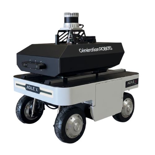
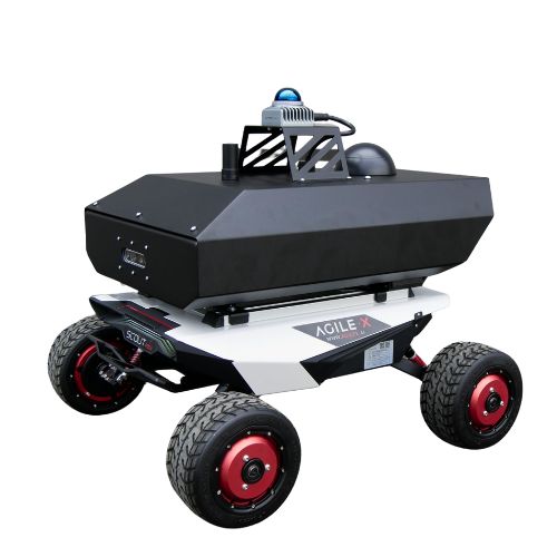
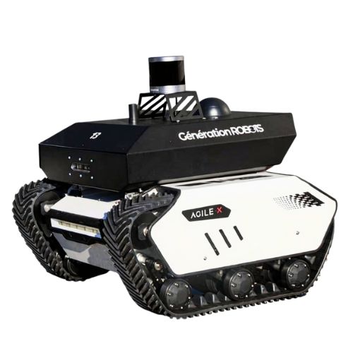
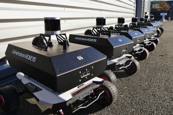
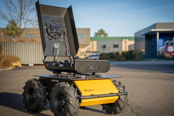
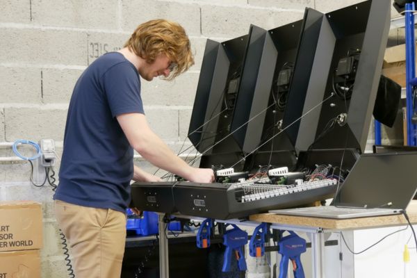
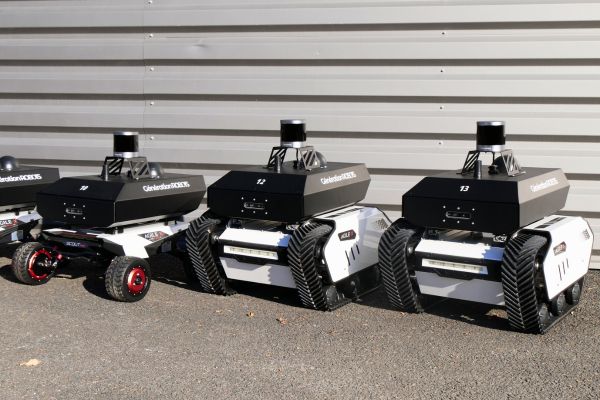
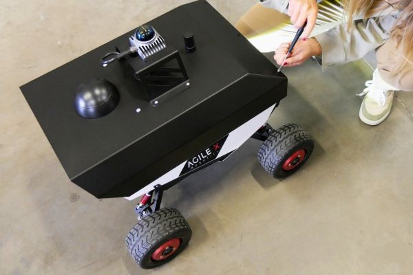

The engineering design office at Génération Robots (GR Lab) has developed a research kit compatible with ROS2, adaptable to AgileX, Clearpath and Husarion bases.